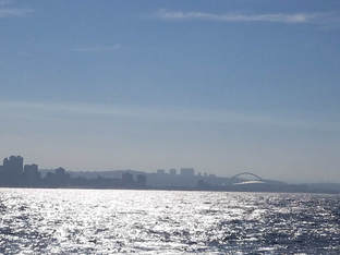
 looking back at Durban as we head out to sea
 We have officially set sail and are heading east into the Indian Ocean!
Final preparations went smoothly as we prepared to set off, and we are all now settling into our lab spaces, our shift schedules, and our routines. We haven’t reached our first station yet so minimal science has happened so far, so I thought I’d take this opportunity to give you all some background on what we are doing out here in the first place.
Final preparations went smoothly as we prepared to set off, and we are all now settling into our lab spaces, our shift schedules, and our routines. We haven’t reached our first station yet so minimal science has happened so far, so I thought I’d take this opportunity to give you all some background on what we are doing out here in the first place.
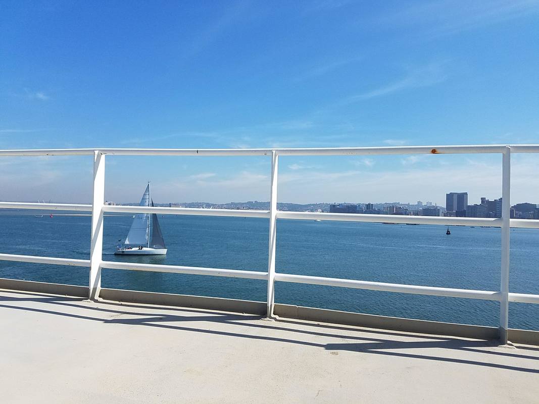
as we were prepping for departure this lovely sailboat came sailing into the harbor
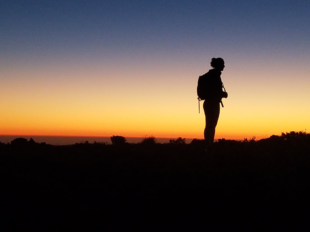
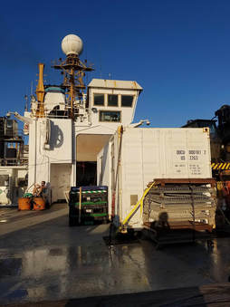 looking up at the ship from the fantail during sunset
 With technological advancements and our ability to monitor the ocean greatly improved over the last few decades, one can reasonably ask- why do oceanographers still need to go to sea if they can get plenty of information literally just sitting in front of a computer? It is true- in earlier days taking measurements from ships was the only available option to measure the sea. Nowadays oceanographers are well equipped with Earth-orbiting satellites and autonomous devices galore, with new options being developed every year. While ship-based measurements are very limited in space and time, satellites can see the entire Earth surface in several days, and today numerous profiling floats are sampling most parts of the ocean.
However, these modern observing systems also have limitations. For one, satellites can see only the surface of the ocean and depending on weather in the atmosphere, even that can be difficult some days. Floats are usually separated by distances of hundreds of kilometers and not all ocean variables can be measured by autonomous devices with small sensors on autonomous instruments usually being less accurate.
Therefore, ship-based hydrography still remains the only method for obtaining high-quality, high spatial and vertical resolution measurements of a full suite of essential physical, chemical, and biological variables over the full-depth water column. Plus, for most of those autonomous floats, somebody still has to go at sea and deploy them in a preplanned location. This is something most research cruises do as a supplemental duty and during our cruise we will be deploying some.
| But what is so exciting about THIS cruise specifically- Well, this will be the first scientific occupation of line IO7N since 1995. Everyone is eager to learn how things have changed in the Western Indian Ocean over the last 23 years. Has the deep ocean warmed? Have the regional concentrations of dissolved oxygen, carbon dioxide, nutrients changed? Has the Western Indian Ocean become more acidic? These and many more questions will be addressed by the data collection happening onboard. One final note- if the posts for this cruise seem a little more vague or delayed than previous cruises you have followed, there is a reason for that. Due to our location in the western Indian Ocean we are at a much a higher security level than on previous cruises I have participated in which means publicly sharing specifics about our boat, our route, and our schedule is impossible. I look forward to sharing lots about the science happening onboard and updates on me personally, but safety is our priority so some things will just remain off-limits. Well, the Bosun just announced that Bingo starts in 5 minutes so I better run! | 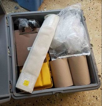 when you open one of the boxes with your equipment and the ONE thing you forgot to bring from home is in there, your day is officially made. This is simply a large roll of shelf liner but is essential onboard and used to ensure your computer, pens, notebooks, and your EVERYTHING don't slide around on the lab bench 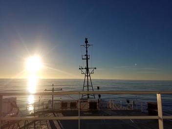 sunrise from my favorite weather deck |
 RSS Feed
